
How to open the photos of photo layer?
1.Tap the Explorer button on the main toolbar, switch to Explorer toolbar, tap the downward arrow of Identify > Hyperlink on the menu.
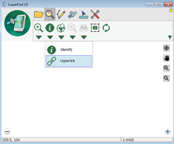
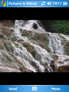
2.As Hyperlink function is activated, tap on the map screen with stylus (or mouse), the photograph linked to this feature will automatically show up on the window.
NOTE: the photo layers are created in point format. The point feature on the photo layer is the coordinates of the picture. The folder used to save the pictures taken by SuperPad can be set in System Settings, please refer to PDA Pictures.
The pictures used in photo layer should contain coordinate information, and how is the coordinate information generated? First of all, you should make sure the smart device you want to use to take pictures is equipped with GPS function and ensure the GPS settings correct. After that, go to the Camera tab of System Settings in SuperPad and set “Save X, Y coordinate.” As to the Camera settings, please refer to PDA Pictures. When GPS position is successfully received, tap the Camera function. The PDA will enter the camera mode, and then you can start to take pictures. Follow these steps to take pictures and the pictures will contain coordinates.
© 2017 Supergeo Technologies Inc. All Rights Reserved.