
What’s new in SuperGIS Desktop 10.1
SuperGIS Desktop greatly renews the interface and provides users a brand new operation experience. In the same time, multiple functions are increased and improved:
❑Edition
SuperGIS Desktop 10.1 has three editions which include Standard,Professional and Advanced edition and each editions is designed based on the needs of users.
❑Map display
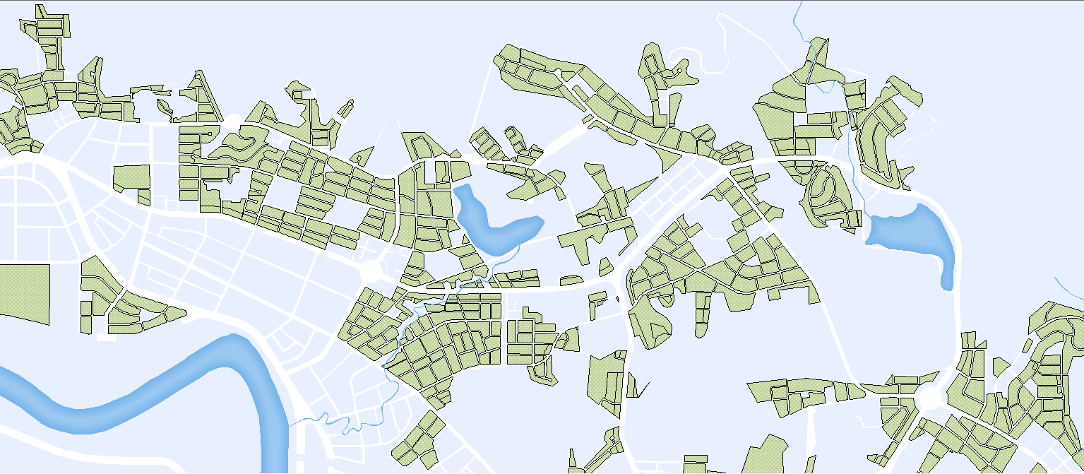
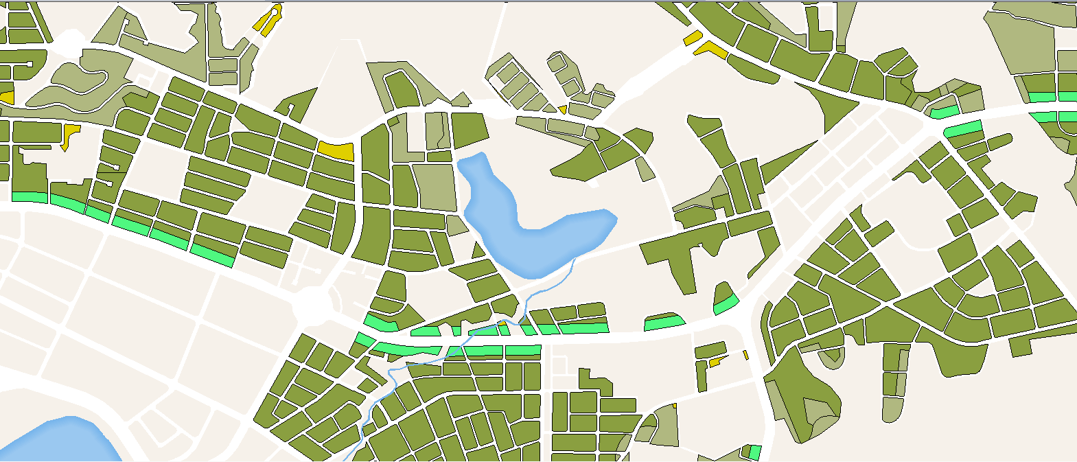
Support Scale-based render. Users can display different render in different scales.
Scale: 1/1400000
|
Scale: 1/700000
|
❑Customization
From SuperGIS Desktop 10.1, according to the principle of user-friendly, SuperGIS Desktop will stop supporting VBA and adopt Python as new customization tool.
❑Temporal Slider
Support users to import layers with time dimension and display the features at specific times or periods. It turns the abstract spatial-temporal information into vivid visualizations, enhancing data interpolations and communications, thus helps decision makers to be well-informed. Temporal Slider includes:
❖Read layers with time dimension and display the features at specific time or period.
❖Support various time formats.
❖Provide customization in player title, for making better understanding in topics of display.
❖Support time-shift. Users are allowed to shift origin time at the same and easily compare different time layers.
❖Users are enabled to display features in regular or irregular time interval.
❖Play speed can be adjusted.
❖Display can be exported as sequential pictures or videos.
❑Cache Generator
In SuperGIS Desktop 10.1, there will be a major upgrade for Cache Generator, which supports vector tiles. Vector tiles are chunked vector data which allows browsers or other client applications map geographic data faster. Although vector tiles are similar to raster tiles; yet instead of using map images, the data stored in each chunk are vector data, such as GeoJSON, protobuf, GML, and so on. Unlike raster tiles, the way how vector tiles are rendered can be changed and defined by users. They are basically raw shapefile or geofile that are chunked into tiles. Therefore, users will be able to use them to design symbology and perform geographical analyses.
❖Support to publish vectors which in *.gml format.
❖Vector tiles can be imported in SuperGIS Desktop.
❖The render of vector tiles can be changed and defined by users.
❖Allows users to estimate time of generating tiles for planning schedules.
❖Support to publish mixed tiles. Users can publish their basemap or feature layers which seldom updates as raster tiles, and assign feature layers which changes frequently as vector tiles to reduce updated time.
❑SuperGIS Toolkit & Process Designer
SuperGIS Toolkit is greatly enhanced and allows users to integrate GIS functions to quickly make a GIS work-flow. Meanwhile, more than 20 functions for analyzing and data processing are added to increase the capability of GIS work. In addition, improved interface is easy for sharing. Newly SuperGIS Toolkit includes:
❖Allows users to reuse process.
❖Batch operation is improved, and users are enabled to add feature layers in batch window by dragging data.
❖Parameters can be inputted by not only keying in but also pasting.
❖Users can do multiple select with mouse cursor and button "shift" in batch processing window.
❖The default name of result is named from implementing functions.
❖The default storage path will be the same directory of input data.
❖Properties layer of process is improved. Users can add descriptions for each processes, therefore, the process can be easily applied and understood by other users or groups.
❖More than 20 functions are added for data analyzing and processing.
❑ LiDAR Tool
LiDAR technology, a significant measurement technology for surveyors, can record a wide range of high-precision information at once, and has become an important tool in many domains. SuperGIS Desktop 10 provides LiDAR Tool for users to easily integrate LiDAR data into GIS platform. With Lidar Tool, you can:
❖Support to display elevation, RGB and classification stored in *.las file.
❖Provide filter to display specific LiDAR information such as water, vegetation or ground , etc.
❖Allow users to read LiDAR in LAZ format。
❖Enable users to draw LiDAR profiles that can be displayed in 3D.
❖Users can extract las data depending on attributes or spatial boundings to reduce the size of LiDAR files.
❖Support split function to reduce the file size of LiDAR.
❖Provide various ways for LiDAR file conversion. Users can convert Lidar data into vector, raster or text formats.
©2015 Supergeo Technologies Inc. All rights reserved.