
Scale based renderer
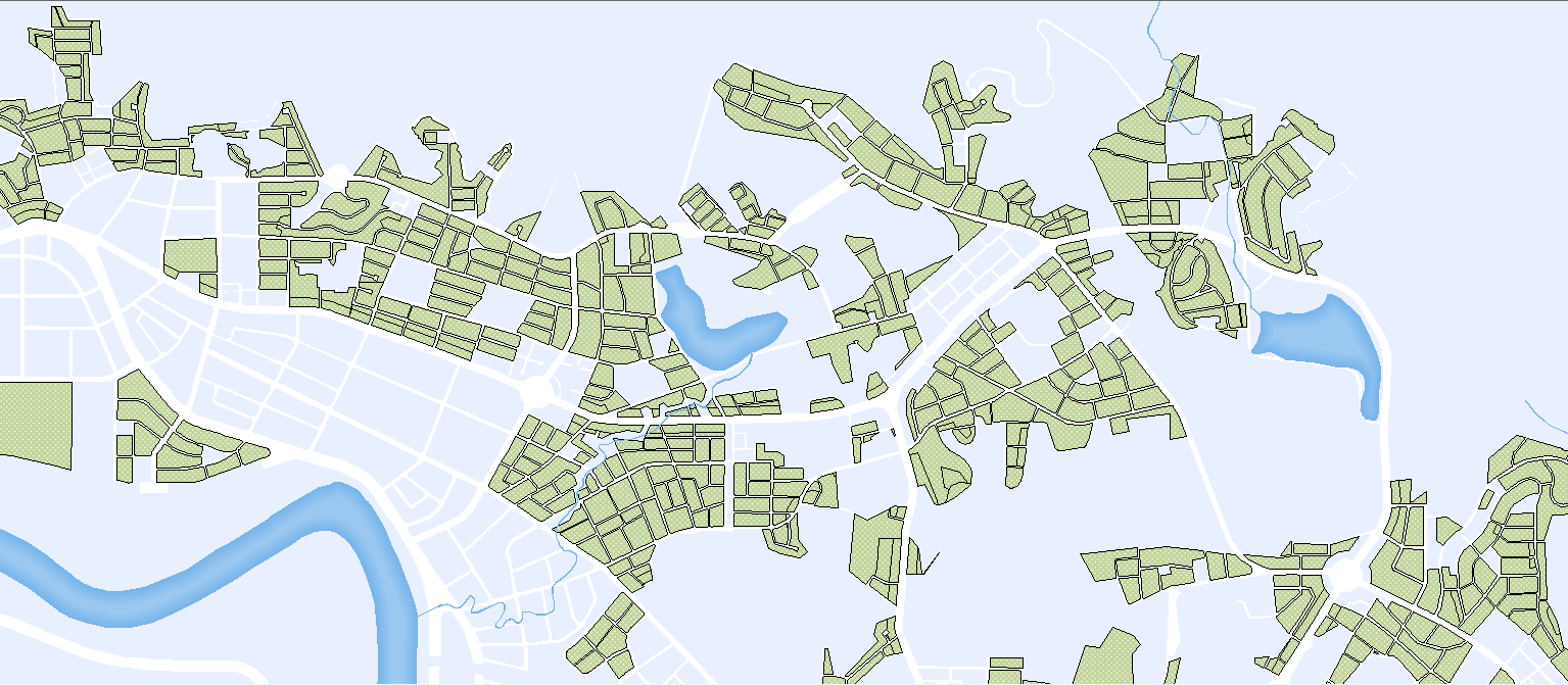
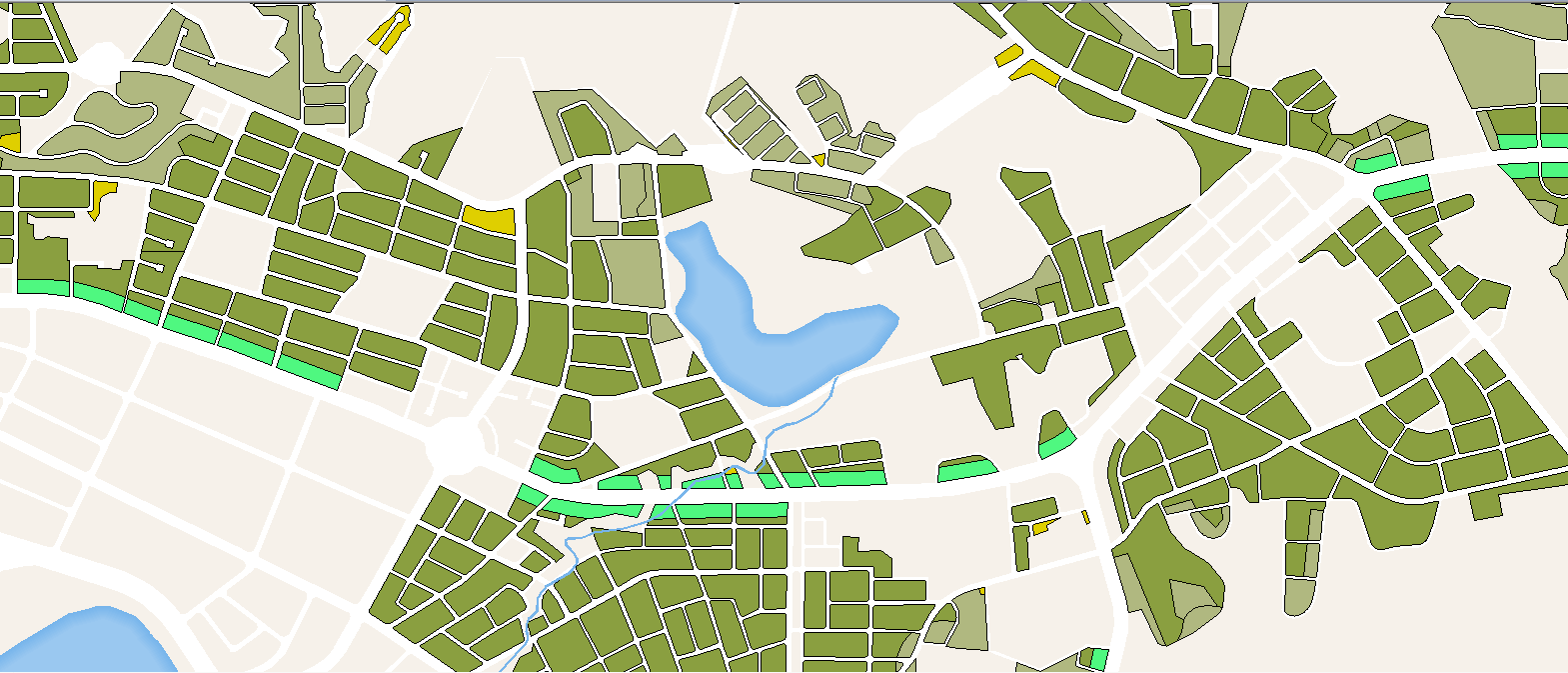
Due to scales by which a map can display different levels of information details, a professional map cartographer/map user, of course, will define color-rendering levels and color tone according to how detail the map information that would be shown on the map to make it as an easy-to-read one. To do so, you can apply Scale-Based Renderer within SuperGIS Desktop to specify how map symbols (color render levels and color tone) displayed under different scale settings. The setting result of an example map is shown below:
Scale: 1/1400000
|
Scale: 1/700000
|
To set Scale-Based Renderer, double click the layer in the table of contents, click Symbology tab, select Scale-Based Renderer in the drop-down menu, which is named Show, and follow the steps below:
1.Click the + button to open Add Scale dialog box
2.Set scales and the corresponding renderers. By this step, you can specify which symbol to show while the map scale is smaller than the certain value(s) you set.
3.Set color renderers and click OK to accomplish the setting
In this way, you can view the map with the specified symbols under different scales. To add more scale-based renderers, repeat steps 1 to 3 above. To remove any scale-based renderer, just select the target render and click the Del button in the Symbology tab within the layer property dialog box.
©2015 Supergeo Technologies Inc. All rights reserved.