
Adding XY Data
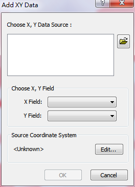
XY data refer to the coordinate data of the map. The function, "adding XY data", can help us to export the data to the map and also create a point layer on the map. SuperGIS Desktop 10 not only supports DBF file but also Delimited Text format file (*.txt) and CSV format file (*.csv). The system will also recognize which fields are numeric fields.
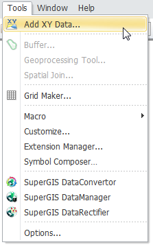
You can click "Tools" menu on the top menu bar and click "Add XY Data." Then, "Add XY Data" window is opened.
If you do not have any coordinate data, it would be difficult to understand the function. Therefore, we will introduce how to create XY data first and explain how to add XY data to create a point layer.
©2015 Supergeo Technologies Inc. All rights reserved.