
Run Service Area
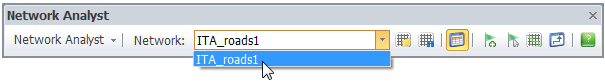
Before running Network Analysis, please ensure the road layer has been converted to network data, so you can choose such network data in layer format in Network drop-down menu on the Network Analyst toolbar and so does the Network Analyst menu. To convert road layer to network data, please refer to Network Data.
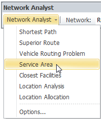
1. Open Network Analyst toolbar, click Network Analyst and select Service Area.
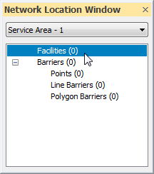
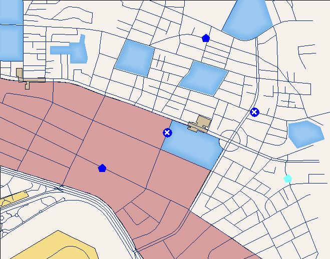
2. Select Facilities in Network Location Window.
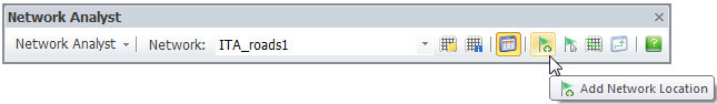
3. Click Add Network Location on the Network Analyst toolbar.
4. Add facilities by clicking mouse on the map. For more details about stop settings and explanations , please look up the Network Analysis Element chapter.
5. After all facilities are added up on the map, you can select “Point”, “Line Barriers” or “Polygon Barriers” in “Network Location Window” and click Add Network Location on the Network Analyst toolbar to add the barriers on the map, if necessary.
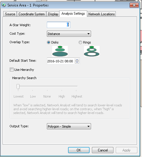
6. Set the analysis. Right-click on the Service Area in the Layers, and click Properties... . Switch to the Analysis Settings tab, where you can set up the A-Star Weight; Cost Type, Overlap Type, etc. If you want to learn more in analysis settings, please check the properties chapter.
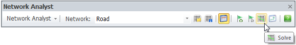
7. After the setting are finished, please click Solve on the Network Analyst toolbar.
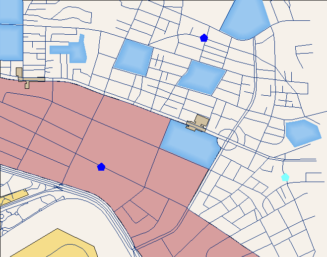
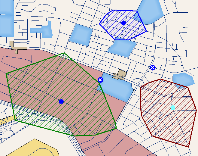
8. The result will be displayed on the map if it is obtained. Note that, the default searching range for facility is 3000 meters, to adjust the range, please double-click on one facility on Network Location window and change it in the Modify Location Data window that opens.
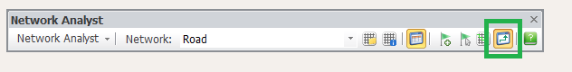
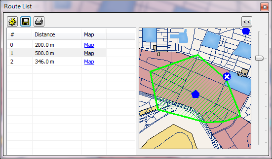
9. Or you can click the direction window and view the detailed route result in the “Route List.”
©2016 Supergeo Technologies Inc. All rights reserved.