
Editing Layers
To edit layer, you need to specify the layer you want to edit. Tap ![]() .
.
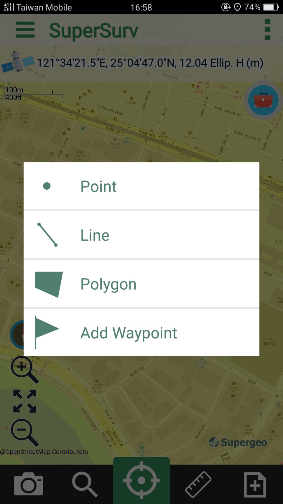
In Please Select Editable page, select the layer you would like to edit. Then tap OK.
The editable SuperGIS Server Feature Service will be listed as editable layer, when such layer is selected, all the layers contained by this Feature Service will be listed as editable SuperGIS Server layers. The way to edit SuperGIS Server layer is the same as to edit ordinary layers.
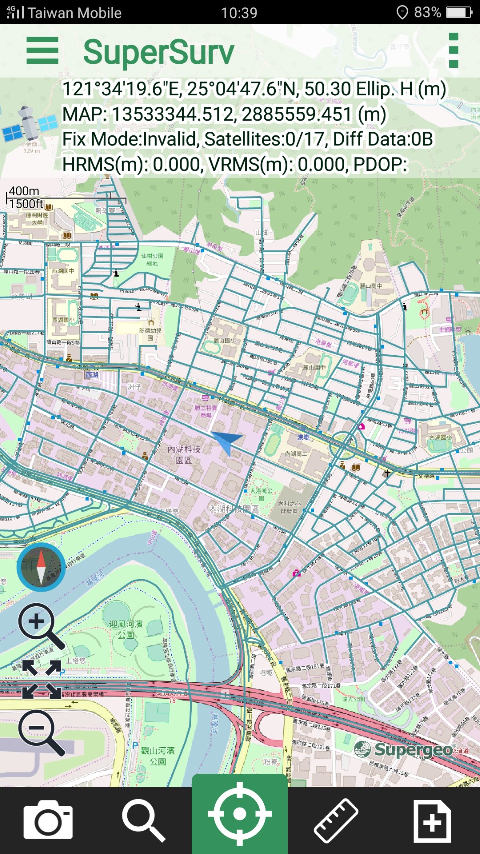
Please note that you can only edit a layer each time and you cannot edit multiple layers at the same time. To edit another layer, you need to switch another layer. Back to map, Survey toolbar shows up at the top of the map.
As a feature is selected, you can use the following buttons:
Delete Feature |
Delete the selected feature. |
Move Feature |
Press the selected feature.Move, vertex, stretch feature, rotate feature, insert vertex, and delete vertex. |
Edit Attribute |
Long-press the selected feature. |
Survey toolbar setting
|
5 items to set:
|
You can stop the current editing by 2 methods:
1. tab ![]()
2. press Back key, and a dialog will appear to check whether you would like to finish the editing. Tap OK to finish editing. The details of editing, please refer to Survey.
A message will show up to confirm whether users want to synchronize data to Server upon the editing is finished. Please tap Yes if you want to synchronize the data, otherwise, tap No.
© 2017 Supergeo Technologies Inc. All Rights Reserved.