
支援檔案格式
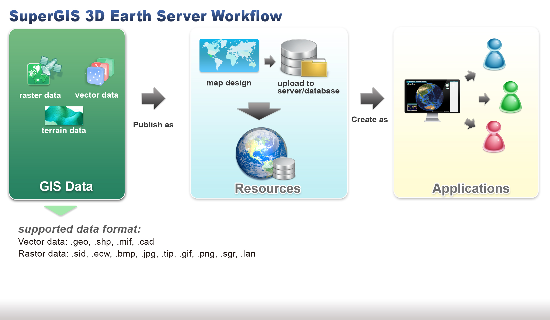
要將資料上傳至SuperGIS 3D Earth Server,首先需要利用SuperGIS Desktop或是SuperGIS Map Designer開啟欲上傳的GIS資料。支援上傳的資料格式包括各種向量資料與網格資料:
向量資料: .geo, .shp, .mif, .cad
網格資料: .sid, .ecw, .bmp, .jpg, .tif, .gif, .png, .sgr, .lan
© 2014 Supergeo Technologies Inc. All Rights Reserved.