
SuperGIS Cube GIS Toolbar
GIS Toolbar contains various commonly used GIS tools, such as select feature and measurement.
![]() Select Features
Select Features
Select Feature tool can help users to select features by clicking on the map, the selected feature will be highlighted both in the map and attribute table. Additionally, users can use Selection Settings to set up your selection.
![]() Cancel selection
Cancel selection
Cancel selection will cancel all the selected features.
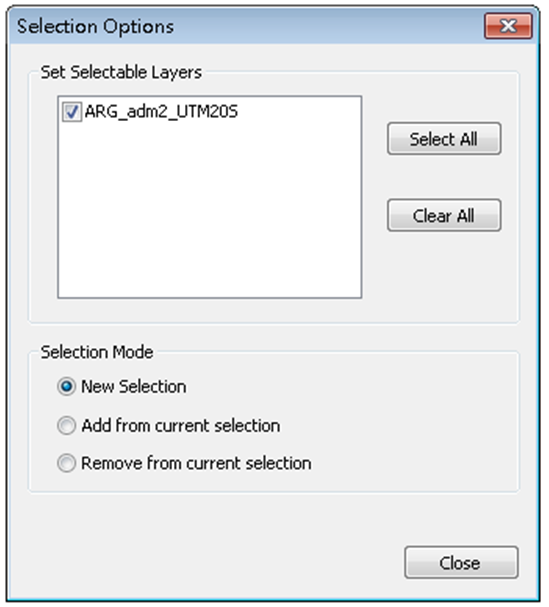
![]() Selection Settings
Selection Settings
Selection Settings is a tool to set up your selection tool, including the selectable layers and selection mode. The selection mode includes new selection, add from current selection, remove from current selection.
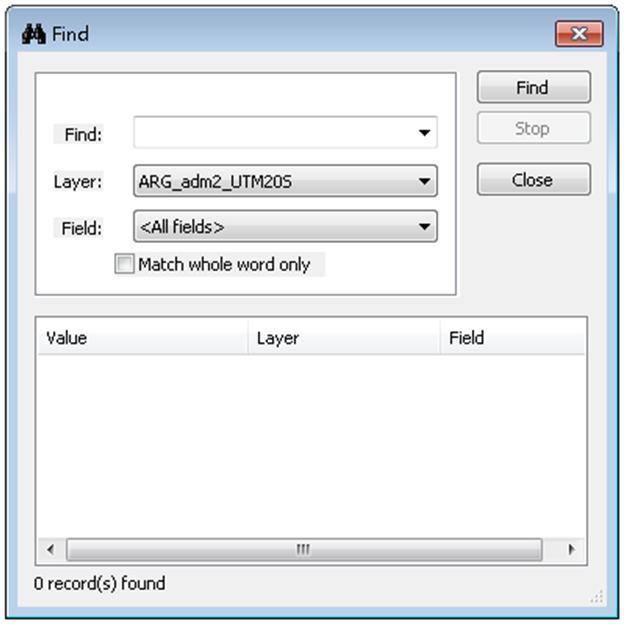
![]() Find
Find
Find tool help users to find interested features using a keyword. Users can assign the searched layer and field to accelerate the searching process.
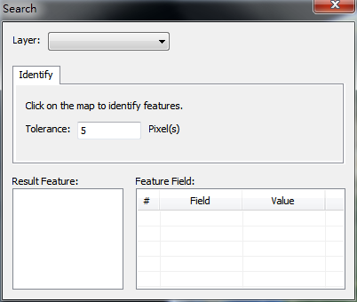
![]() Identify
Identify
Identify tool queries the features' attributes by clicking them on the 3D map. Before you identify any feature, select the target layer and the tolerance first.
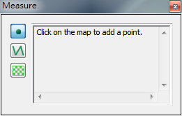
![]() Measurement
Measurement
The measurement tool helps users to measure positions, length, and areas. Use point tool to measure position; use line tool to measure length; use polygon tool to measure area.
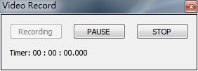
![]() Record 3D video
Record 3D video
Use this tool to record the view of SuperGIS Cube The video will be exported as *.avi files. All the actions in SuperGIS Cube will be recorded as a movie, and you can use other players like Windows Media Player to play the video.
![]() Export images
Export images
Export the current view of SuperGIS Cube as a 2D image. The file format is in *.png.
© 2016 Supergeo Technologies Inc. All Rights Reserved.