
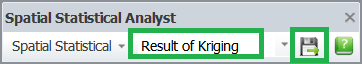
Exporting Layer
1.As the analysis is finished, the result layer will be added to the Layer list of Spatial Statistical Analyst toolbar, and the Export is then enable. Click Export.
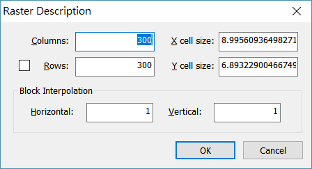
2.Set up the cell size and raster size, click OK.
 \
\
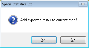
3. The file will be exported to SGR file.
4. “Add exported raster to current map?” dialog box shows up, click Yes to add the raster to the map.
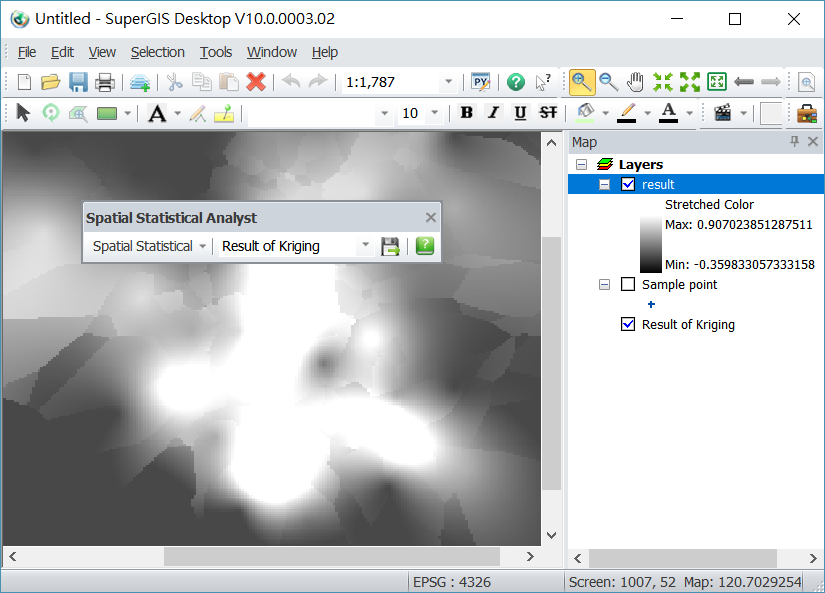
5. The layer is now added to the map. The default color is gradient from black to white.
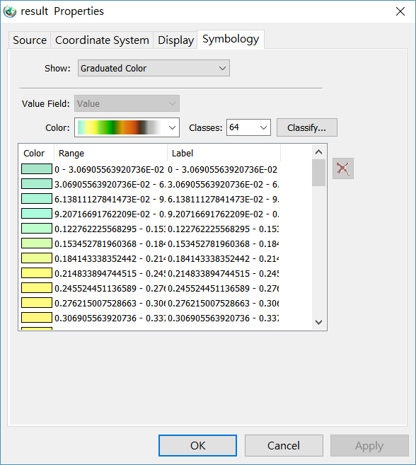
6.In Layers double-click SGR layer and the Properties windows shows up. You can adjust the display mode of the raster as needed. After the settings are finished, click OK.
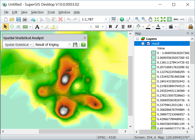
7.The map is displayed according to the settings.
©2017 Supergeo Technologies Inc. All rights reserved.