
Zonal Fill
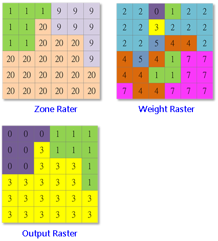
Zonal Fill analysis needs to work with weight raster and zone raster to find the minimum weight raster value along the zone boundary.Then the system assigns the value to the specified zone in output raster. Zonal Fill can be used for hydrology analysis, it calculates the lowest elevation of the outlets which is on the boundary of watershed. The zone raster for Zone Fill analysis supports floating or integer (for other analysis tools the zone raster must use integer).
Description of Parameters
Item |
Description |
Data Type |
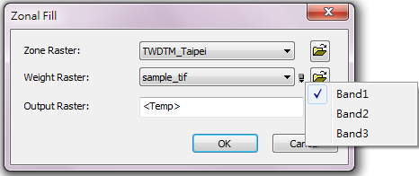
Zone Raster |
Specify the zone raster that defines to be analysis . |
Raster data |
Weight Raster |
The weight or value to be assigned to each zone. Users can click the |
Raster data |
Output Raster |
The filename and storage path of the output. |
Raster data |
©2016 Supergeo Technologies Inc. All rights reserved.