
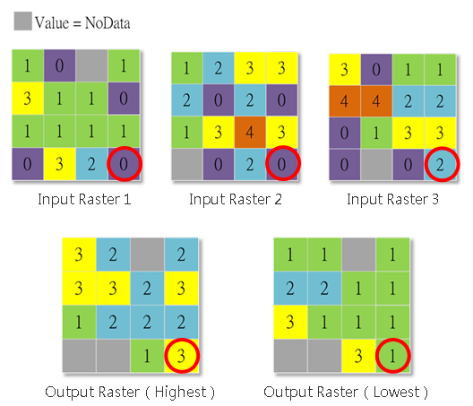
Highest Position and Lowest Position
The two tools compare the cell location values from a set of input rasters, and determine the cell value of the output raster based on the order of the input rasters. In brief, they determine the position of the greatest or smallest value in a set of rasters cell-by-cell. If there are more than two input rasters meeting the condition, the first input raster that meets will be taken as the output value.
If any one input cell has value NoData, that location will be assigned NoData on the output.
See the figure below:
1.The input cells at the lower right corner are respective 0(IR1), 0(IR2) and 2(IR3). We find the maximum value of this cell location is 2; because it is in IR3, the output value of this cell location is 3(Highest). For the same reason, the minimum value of the cell location is 0. Based on the rule description, if there are more than two input rasters meeting the condition, the system will take the first one as the output. So, the output value of the cell location is 1(Lowest).
2.If any one input cell has value NoData, that location will be assigned NoData on the output.
Description of Parameters
Item |
Description |
Data Type |
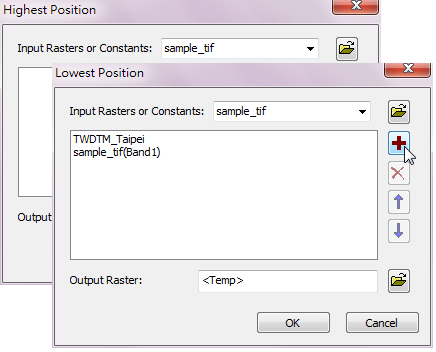
Input Raster or Constants |
Input the rasters to compare(multi-selection). |
Raster data / Constant |
Output Raster |
The filename and storage path of output raster. |
Raster data |
©2016 Supergeo Technologies Inc. All rights reserved.