
View Location Information
The information related to GPS satellite contains General, Details, and Satellite. The information can be viewed only when GPS is being used.
1.Tap Menu key > Settings/View > View location information.
2.View location information.
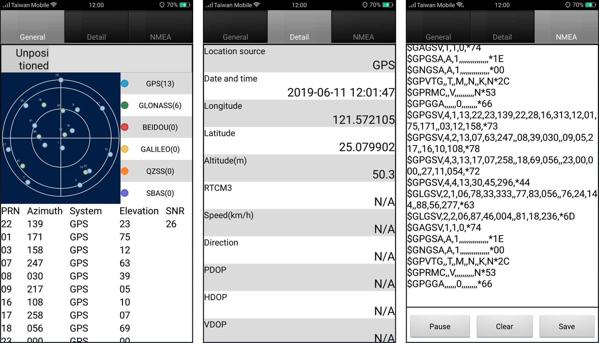
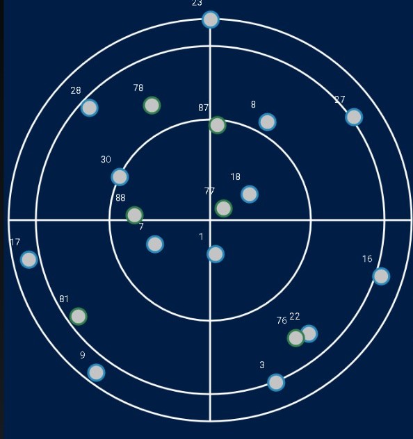
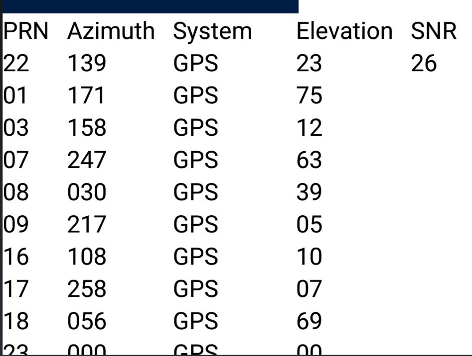
(1) General
▪Sky Map
|
Sky map displays satellites connected with the device at the current position. Each spot represents one satellite and users can distinguish the satellite services from its color. SuperSurv supports to capture location information from : •GPS (Blue) •GLONASS (Green) •Galieo (Yellow) •BeiDou (Red) •SBAS (violet) |
|
Location source: to get the location source •Satellites : Number of satellites •Longitude: longitude position •Latitude: latitude position •Altitude: the altitude calculated from sea level •Speed: the speed your move |
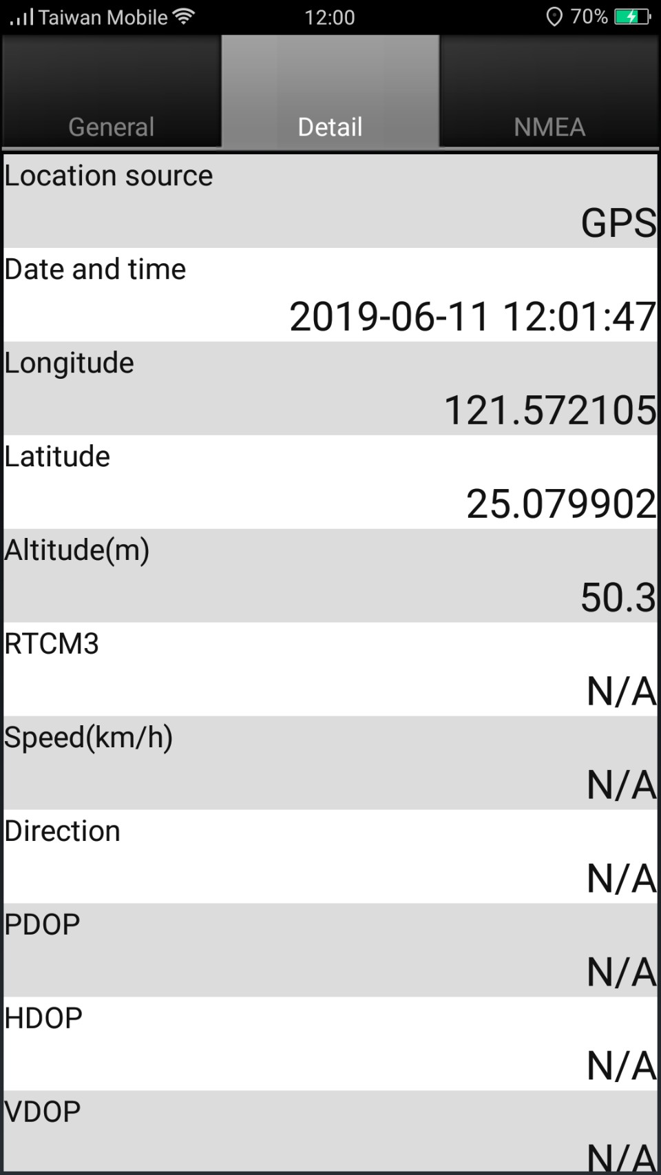
(2) Details
|
You can view the common GPS information here. •Location source : to get the location source •Date and Time : date and time •Longitude : the longitude position you are •Latitude : the latitude position you are •Altitude : the altitude of the position you are. The way to calculate is from the sea level; the unit is meter. •Speed : the speed your move •Direction : the direction you face •PDOP : Positional Dilution of Precision •HDOP: Horizontal Dilution of Precision •VDOP: Vertical Dilution of Precision •EPE(m): Estimated Position Error •Quality: Positioning quality •Accuracy(Google formula): Accuracy from google API •Accuracy(SuperSurv formula): Accuracy from Supersurv formula |
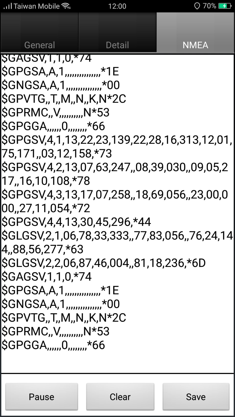
(3) NMEA
|
•The protocol, made by National Marine Electronics Association, NMEA, is used to define the communication •among data and data format. •Tap Save, you can save the data as a file in txt format.
|
© 2017 Supergeo Technologies Inc. All Rights Reserved.