
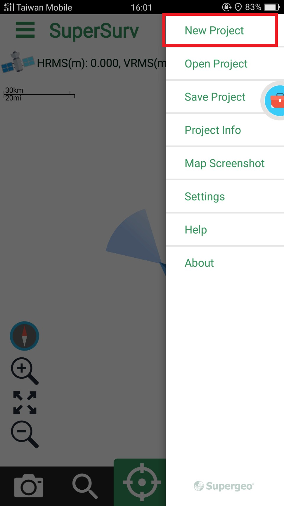
New Project
Enter the project name and set the spatial reference to create a new project.
After choosing a spatial reference, user can press the icon ![]() to check the detail of coordinate system.
to check the detail of coordinate system.
Or press "information" to check detail while choosing.
![]()
If user want to define local coordinate system, choose customize coordinate system.
![]()
And press ![]() to set detail.
to set detail.
![]()
There are something user can set, datum, projection type and projection parameter.
After setting, press OK and create a project.
If user want to delete some systems, tap ![]() to delete them.
to delete them.
Create a Online Map Tool Project which has online map as the base map.
![]()
© 2017 Supergeo Technologies Inc. All Rights Reserved.