
Layerset
Some surveys, like cadastral survey, forest survey and others, are huge projects. However, these surveys are not complicate. These just do the same survey in huge place. It is very annoying and time-wasted when every surveyors do the same setting before going out. This function can help survey team to do field survey with ease.
When using layerset, only need few setting, whole team surveyor can use same layerset to work.
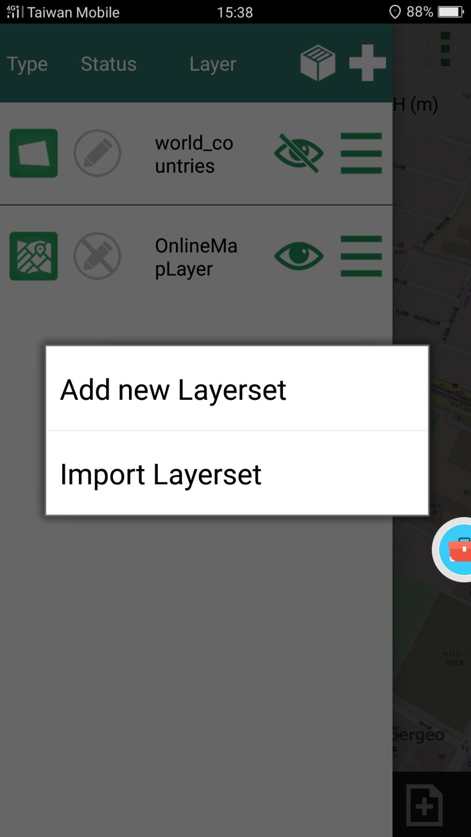
1. First, Tap ![]() . Go to layer setting page. Then tap
. Go to layer setting page. Then tap ![]() , open layerset setting page.
, open layerset setting page.
And create a new layerset.
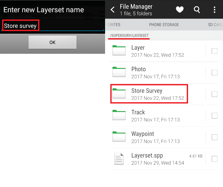
Key in your layerset name, then you can see it will be saved in project folder.
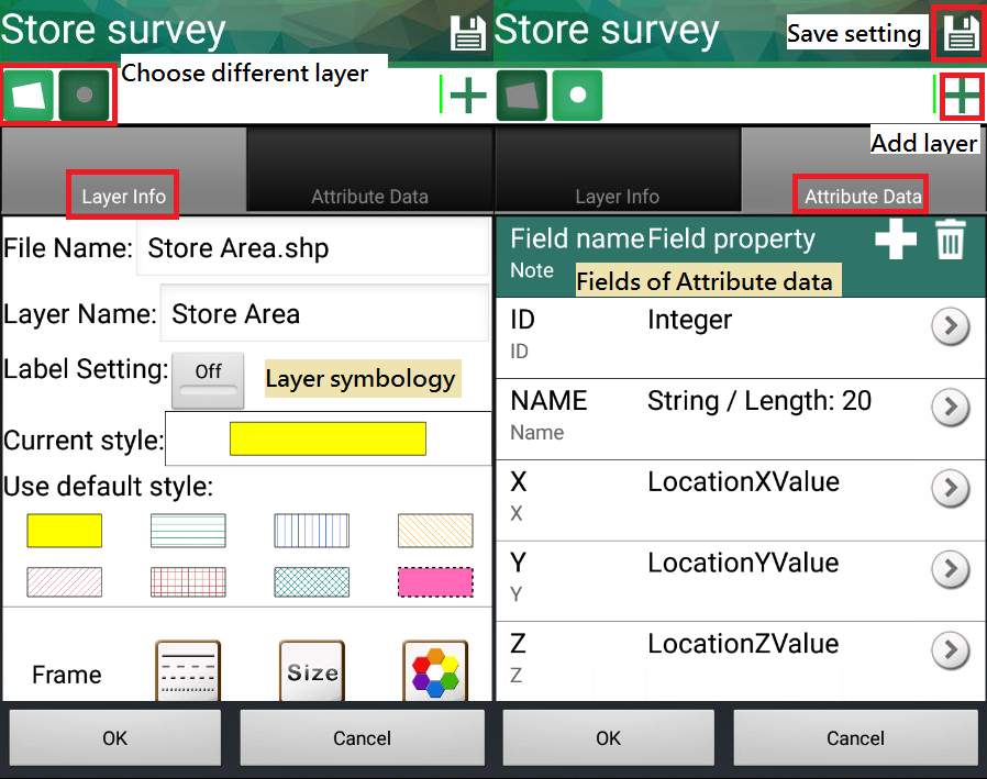
2. Then set the number of layers, layer type, layer symbology, field name of attribute data and field of attribute data.
Tap ![]() to add point, line or polygon layer. The process of setting layer is as same as Add Layer.
to add point, line or polygon layer. The process of setting layer is as same as Add Layer.
After setting, press ![]() to save. Then press OK to load layerset to project.
to save. Then press OK to load layerset to project.
Open your folder, then you can see the layer files.

If other users want to use this layerset, or users want to use this layerset in different project, just copy and share layerset folder.
It can help team worker a lot.
© 2017 Supergeo Technologies Inc. All Rights Reserved.