
Collect Data with GPS Automatically
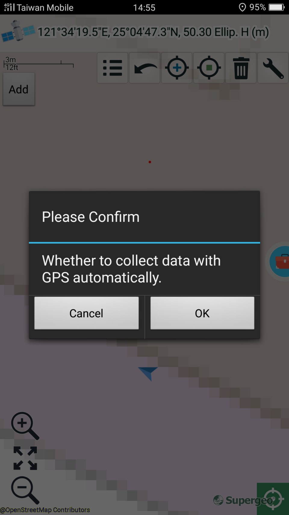
1.Before using this function, please make sure GPS works correctly. You can continuously add points at GPS positions through the GPS data, which allows you to add line or polygon features. Firstly, add a line or polygon feature, here we illustrate with a line feature. Add the first vertex of the line feature, tap ![]() > A message shows up: "Whether to collect data with GPS automatically" > Please tap OK.
> A message shows up: "Whether to collect data with GPS automatically" > Please tap OK.
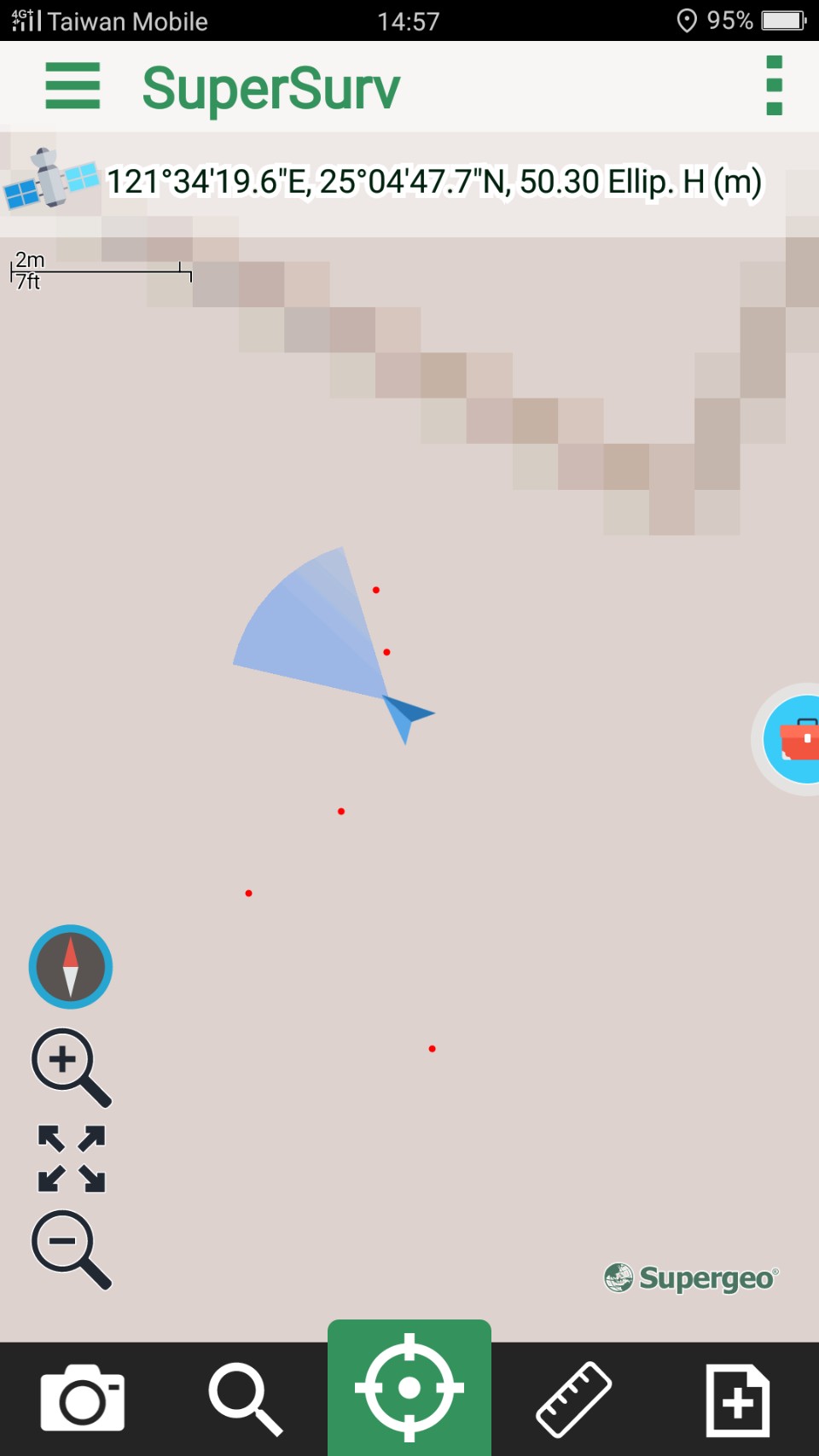
2. When you are moving, the vertices will be added to the map based on the GPS data. To stop collecting GPS data, tap ![]() to finish the editing. Tap OK
to finish the editing. Tap OK ![]() , and you will see the new feature on the map.
, and you will see the new feature on the map.
© 2017 Supergeo Technologies Inc. All Rights Reserved.