
Using GPS Position as Datum
1.Turn on GPS. When you start Laser extension and the GPS is off, a message as the figure below will show up to remind you to turn on GPS.

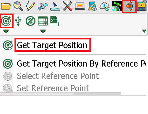
2.Tap Get Target Position. When the button turns green, you can start to measure with laser rangefinder.
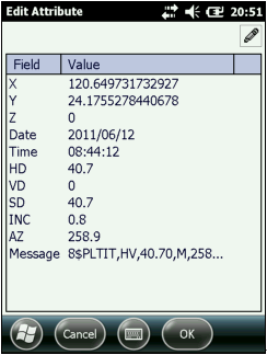
3.Aim at the target with laser rangefinder and press the Fire button. When the measurement information is obtained successfully, “Edit Attribute” dialog box shows up and the information will be filled in the attribute table automatically. Tap OK.
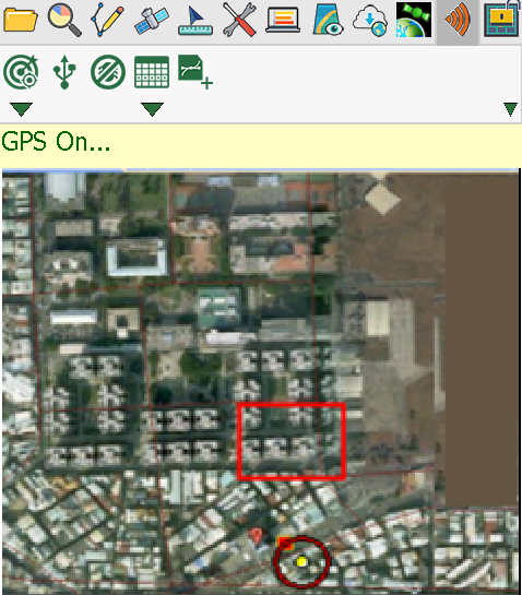
4.Go back to the map, a point feature is added to the map where you shot the spot.
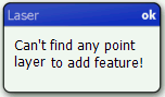
5.If you have not created a point layer before starting measurement, after you shoot a spot, a message as figure below will show up to remind you to create a point layer.
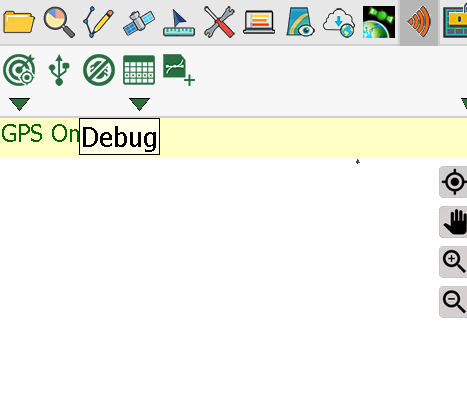
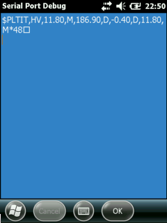
6.After you shot a spot with laser rangefinder, you may tap Debug and check the original signal of laser rangefinder. Through it you will know whether the mobile device connects to laser rangefinder successfully.
© 2017 Supergeo Technologies Inc. All Rights Reserved.