
OnlineMapTool
A variety of online maps are available to be used as the base maps with OnlineMapTool. With the add-on users are able to choose the needed online map style to be the SuperPad basemap for further editing, query or measurement.
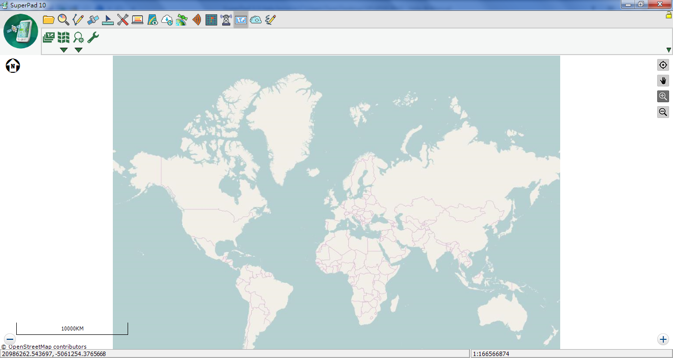
1.Tap Map Layer ![]() to add the default Online Map Layer to the map.
to add the default Online Map Layer to the map.
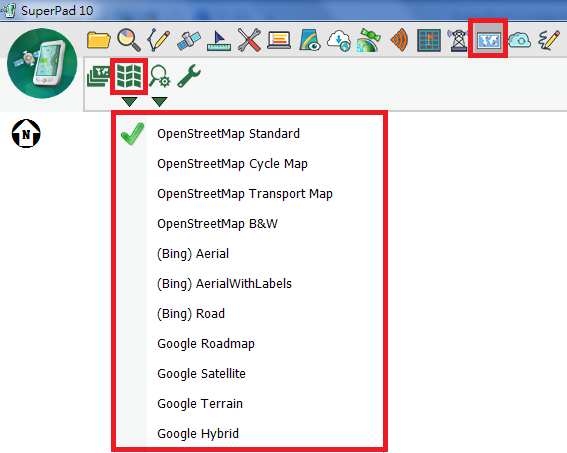
2.Map Style and Zoom Level buttons now become enable, tap the Map Style downwards arrow to display the drop-down menu and tap to switch to required map style.
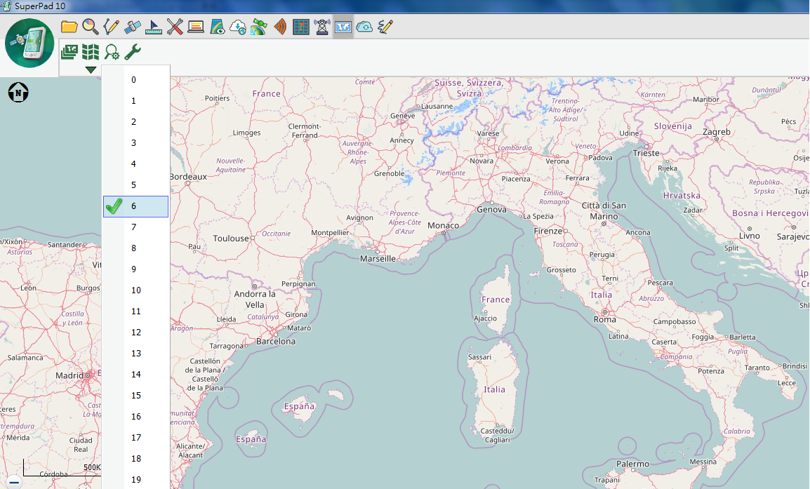
3.Tap Zoom Level to adjust the Online Map Layer level.
Please Note: To add Google Map to SuperPad, you need to add manually and before use it please make sure you are well understanding the conditions and treaty and have authorized from Google Map. Next, open OnlineMapToolSetting.txt which is empty from the SuperPad setup directory and write in the map styles wanted to this text file, one item in a row, such as Google Roadmap, Google Satellite, Google Terrain, Google Hybrid.
© 2017 Supergeo Technologies Inc. All Rights Reserved.