
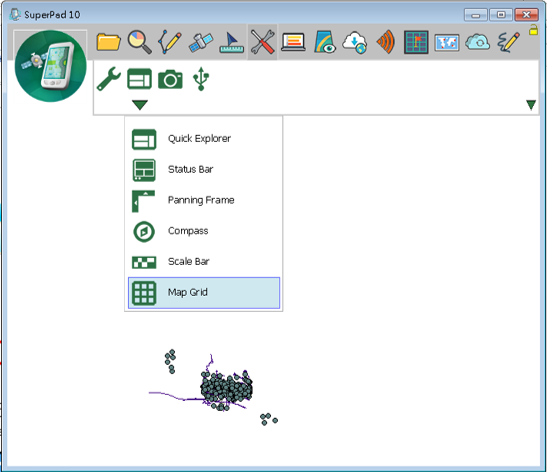
Map Grid
If you tap Map Grid, map grid shows on the map. If not, it will be hidden.
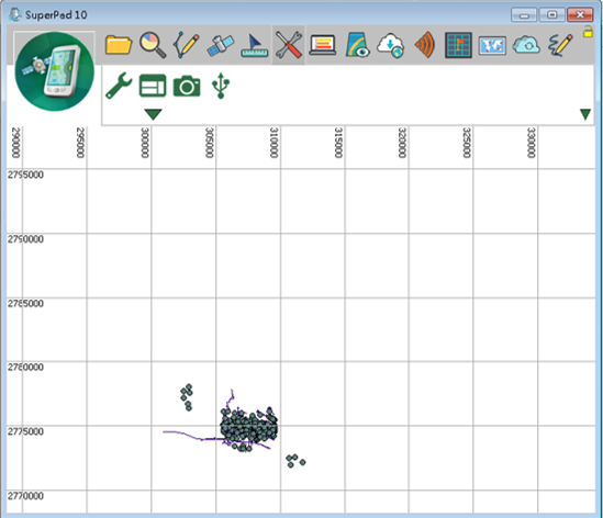
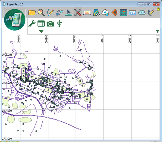
The label format of map grid will be changed according to the spatial reference of the map. If the spatial reference is set in Projected Coordinate System, the map grid will be labeled in numeric, whose unit is meter, like figure above. If the map is set in Geographic Coordinate System, the map grid will be labeled with latitude and longitude, see the figure below.
© 2017 Supergeo Technologies Inc. All Rights Reserved.