
Features in SuperGIS Sever 3.3
SuperGIS Server is designed for enabling the organizations to create, manage, integrate and publish the various types of GIS services. Through it, the spatial data and images in all types as well as GIS functions can be applied as GIS services in desktop, mobile and web applications over the Internet to assist enterprises in building ideal workflow and improving the efficiency of decision-making and productivity. According to the requirements and scales of different organizations, enterprises can extend their server any time to build proper environment. New features of the latest SuperGIS Server 3.3 includes:
1.IIS 8 compatibility: SuperGIS Server now works with IIS 8 or above.
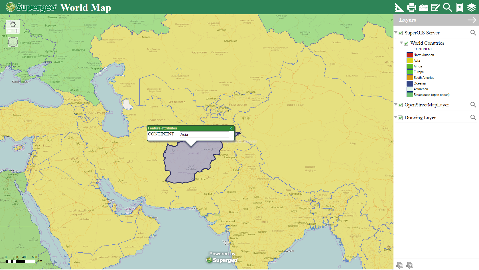
2.Web application redesign:
| The Ultra application had been redesigned to provide enhanced tools. For example, users now can be able to redo or undo editing when using the edit tool. Some functions are also redesigned to be more intuitive to use. For example, now users don't need to switch to pan tools and identify tools whenever they want to pan the map or identify features. Now they only need to drag the map to pan and click on the map to identify features. |
 |
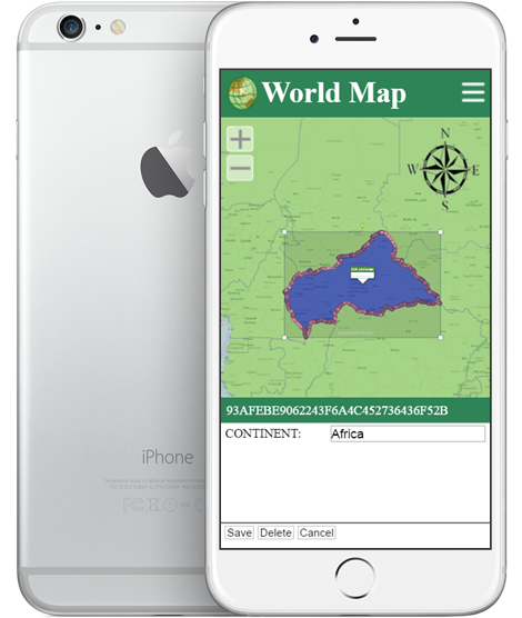
3.Web application supports mobile layout:
| The Ultra application now supports mobile layout, which means users can view and interact with the web application with their smart devices' web browser. |
 |
©2017 Supergeo Technologies Inc.