
Browsing SuperGIS Server Map Cache Service in Google Earth
1.Regarding to the previous section, users can utilize Google Earth to open the downloaded KML file after installing Google Earth in computer. Besides, online viewing of SuperGIS Server map cache service overlaying with Google Earth is also supported.
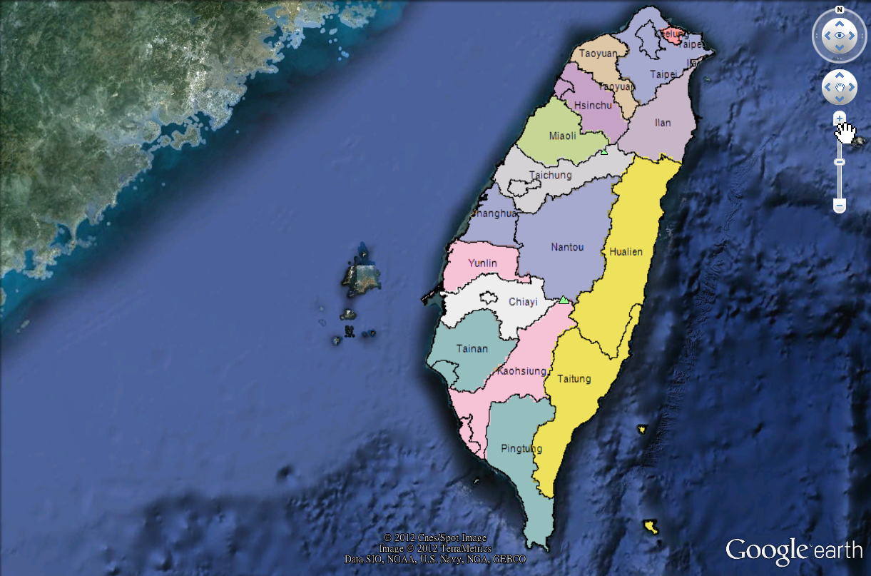
2.After opening KML file, users are able to view the SuperGIS Server map downloaded in KML format in "Places" on the left of Google Earth interface.
3.Double left click on the "Places" you can pan the map to the position of cache image.
4.Users can also utilize built-in map-browsing tools of Google Earth to view map information in the extent of SuperGIS Server map cache service.
NOTE: In map cache service published by SuperGIS Server, the default map image can be zoomed in or out triply only. Otherwise, the map will display cached map image of previous layer or next layer. Also, Google Earth displays no cached map image while the map extent does not fit the scale extent of the map cache service settings.
©2017 Supergeo Technologies Inc.