
Map
In the Map page, users can enter the template name, the title, subtitle, or upload a logo for this web app. And then set up map sources for this web map viewer. Users can add both of local map services and the services from other SuperGIS Server.
Upload a logo
Click "Logo" and select a image file to upload. We recommend to upload an image size with 180 pixel in width and 40 pixel in height.
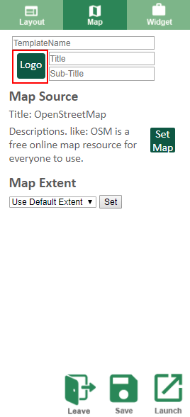
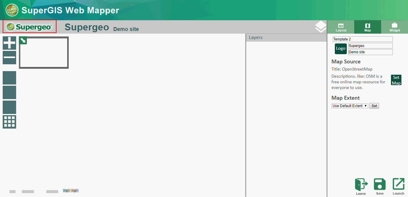
The logo you uploaded will be display on the top-left corner.
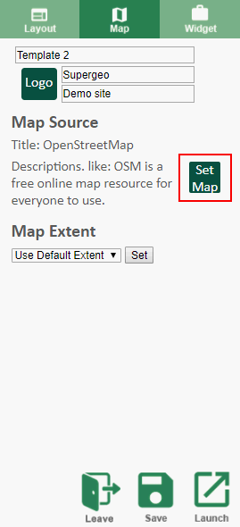
Add map sources
Click "Set Map" in the Map Source section to open the Map Source window.
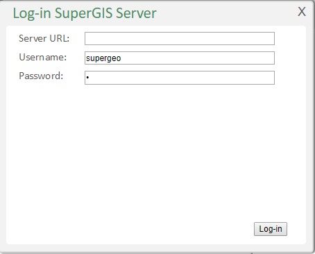
The Map Source window. Click " Log-in SuperGIS Server."
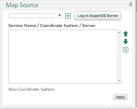
Enter the Server URL or IP, the user name and the password to connect to a SuperGIS Server. (Keep blank in Server URL means connecting to local server.)
Select the map services from the drop-down menu and click "+" to add the services. You can determine the order of map services by the arrow on the right hand side or delete the map sources from "X."
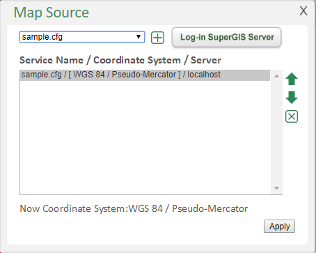
Click "Apply" to implement this setting and a preview will show in the map area.

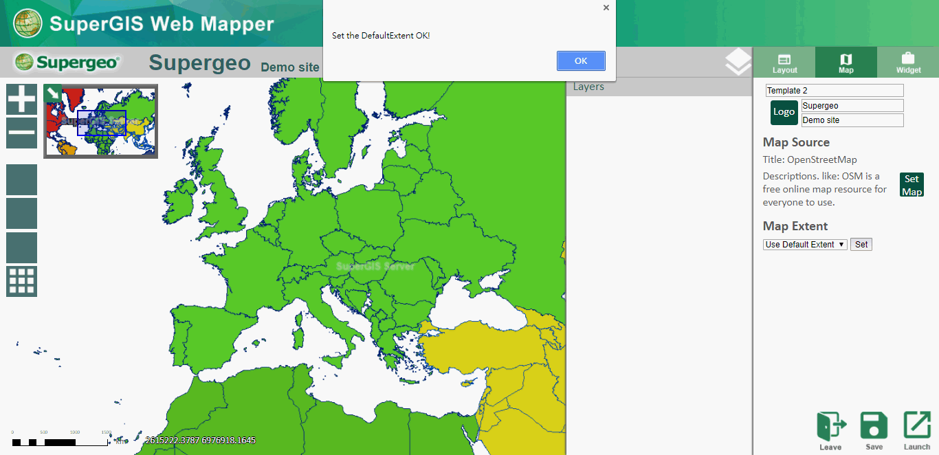
After the Map Source is set, users can set the initial map extent. It is important to set the area you want people to see clearly shown within the initial extent. By default, the initial extent is the map service’s extent. Users can also zoom in/out to an applicable extent and set the current map extent as the initial extent.
©2017 Supergeo Technologies Inc.