
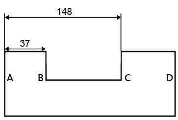
Aligned Dimension
An aligned dimension line is used to annotate the distance between two point (position) as well. Unlike the simple aligned dimension line, aligned dimension line is parallel to the base line and vertical to extension lines. Follow steps below to add an aligned dimension line:
1. By Target Layer select the target layer on which a new aligned dimension line is planned to be drawn, click Add and choose Aligned in the drop-down menu.
2. Click on the specified position on map to set the begin dimension point.
3. Click on the other specified position on map to set the end dimension point.
4. Move mouse pointer to sketch the extension line length and double-click to finish the sketch.
©2015 Supergeo Technologies Inc. All rights reserved.