
Viewing Image ![]()
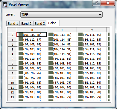
“Pixel Viewer” is a tool to view the pixel value of image layers, which can be used to view the pixel value information of image in large extent. Click “Pixel Viewer” and directly click the image on the map, the “Pixel Viewer” window pops up. All image layers in the current map will be listed in “Layers” in order, which allows users to select the image layer to view. In the tabs below shows the pixel information of the selected image layer, which enables to view the information of cell and color for each band. The pixel value of the position where you click on the map will show on the raster table. If the position where you want to view is outside the image extent, it shows nothing on the raster table. The “Color” tab will show the current color and the RGB value.
.png)

©2015 Supergeo Technologies Inc. All rights reserved.