
Converting Features to Graphics
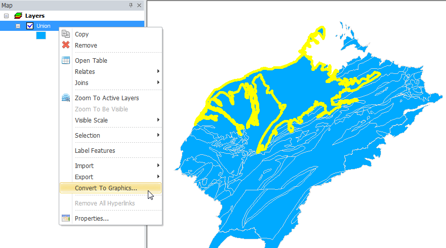
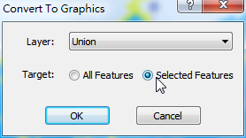
If you want to apply the selected features on the map to other uses, such as illustration in a book, you can use the function to convert the features to graphics and edit the graphics with the graphic tools. Firstly, select the features you want to convert to graphics in the map window, right-click a layer name in "Data Content", and choose "Convert to Graphics." In the "Convert to Graphics" window, choose the layer the selected features belong to. You can choose either to convert "All Features" or "Selected Features." As the setting is completed, click "OK" to finish the conversion.
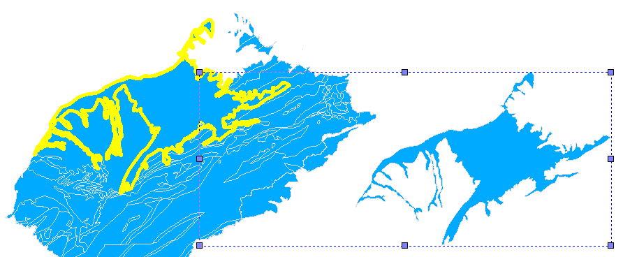
After the conversion is finished, if the new graphics needs editing, you need to use the tools on "Draw" toolbar. Therefore, when selecting the graphics, you need to use "Select Graphics" tool ![]() ; when selecting features, you need to use "Select Features" tool
; when selecting features, you need to use "Select Features" tool ![]() .
.
©2015 Supergeo Technologies Inc. All rights reserved.