Display Text Symbol of Individual Features
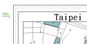
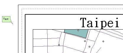
When you want to add the text symbol of individual feature, you need to decide what you want to display first. The text might be the name of the feature, class name, city name, etc. Therefore, firstly you need to double-click the name of the layer the feature you want to label belongs to in the table of contents, and the Layer Properties window appears. In "Field" tab, you can assign a filed in the "Primary Field", and the contents of the field will be the contents of the text symbol. Then, you can click "Label" tool ![]() on "Draw" toolbar and click the feature you want to label. The feature will be labeled.
on "Draw" toolbar and click the feature you want to label. The feature will be labeled.
_new.png)
NOTE: The text symbols will not be zoomed in/out as the map is zoomed; in Layout View, the label will be zoomed in/out as the scale of the layout view is changed.


NOTE: After you select the text symbols by "Select Graphics" tool ![]() , you can right-click the symbols and choose "Properties." Then, the "Element Properties" window appears, and you can edit the color and style of the selected text symbols at the same time. However, what should be noted is that since the text strings might be different, the text tab will not display the text strings. Therefore, you are not able to modify the text string. Additionally, the XY coordinates means the lower-left corner of the frame of the selected graphics.
, you can right-click the symbols and choose "Properties." Then, the "Element Properties" window appears, and you can edit the color and style of the selected text symbols at the same time. However, what should be noted is that since the text strings might be different, the text tab will not display the text strings. Therefore, you are not able to modify the text string. Additionally, the XY coordinates means the lower-left corner of the frame of the selected graphics.
_new.png)
©2015 Supergeo Technologies Inc. All rights reserved.