
Buffer
"Buffer" is an area surrounding a point, polyline, or polygon feature at a specific distance. Therefore, buffered features include points, polylines, and polygons. Buffering is often used for nearby analysis. For example, you can apply "Buffer" to find a river basin which is near the forester within 100 inches. Users can apply "Buffer" to point, polyline, and polygon features, which can be stored in either polyline layers or polygon layers. Choosing different target layer to store the buffered features would cause different buffering effects, like the table below:
|
polygon |
polyline |
point |
|
|
polygon |
|
|
polyline |
|
|
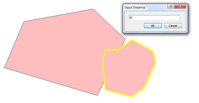
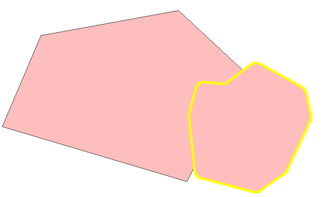
To create Buffered features, please enter the editing environment, select the target layer, and click "Select Features" tool. Then, in the map window, select the feature you would like to buffer, and click "Buffer" in "Start Editing" menu. Type the distance in "Input Distance" window and click "OK." Then, a new buffered feature is added.
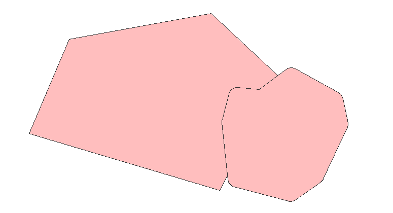
As buffered features are created, the attributes of the original feature will not be changed. The new attributes will be stored in the attribute table of the target layer. For example, if you crate a buffered point feature in a polygon layer, the attributes of the point feature will not be changed but the attributes of the new polygon feature will be stored in the polygon layer.
©2015 Supergeo Technologies Inc. All rights reserved.