
Point to Line
Point to Line makes the point features on a point layer become a new line layer by connecting them to a line according to the FID order and stores to the target layer. The tool transfers the point layer to line layer, for instance, you have collected the scenic spots’ locations from the one-day tour with GPS, with this Point to Line tool, the locations can be connected to be track.
How to Use
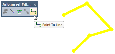
Before using Point to Line, you need to activate editing mode and select two or more point features form the same point layer and set the target layer a line layer. Then click Point to Line![]() to connect the point features you just selected to become a new line according to FID order. Note that, if only one point feature is selected, this tool cannot work at all.
to connect the point features you just selected to become a new line according to FID order. Note that, if only one point feature is selected, this tool cannot work at all.
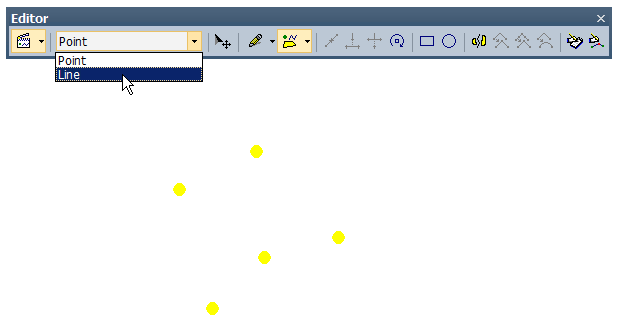
Since new point features are added; you can select point features you intend to make segments and switch line layer as the target layer.
|
Click Point To Line, and the lines formed by selected point features will show on the display.
NOTE : The coordinate systems of source layer and target layer can be different, since SuperGIS Desktop will auto-transfer.
© 2013 Supergeo Technologies. All Rights Reserved.