
Setting Image Display
In GIS, layers can be divided into two types, vector layer and raster layer. In the previous sections, we mainly introduce the ways to display and manage the vector layers, such as point, line, and polygon features. As to the settings of the raster layer, we will introduce the manipulation in the section. Since the raster layer might be single band data or multiple bands data, you can adjust the display of the layer by changing the display type and display band.
The Layer Properties window of raster layer is a little different from the vector layer, only containing source, coordinate system, display, and image tabs. Since "Source" and "Coordinate System" tabs are the same as the vector layer, the manipulation will not be introduced in this section. This section only presents the settings of "Display" tab; the next section will introduce the image tab.
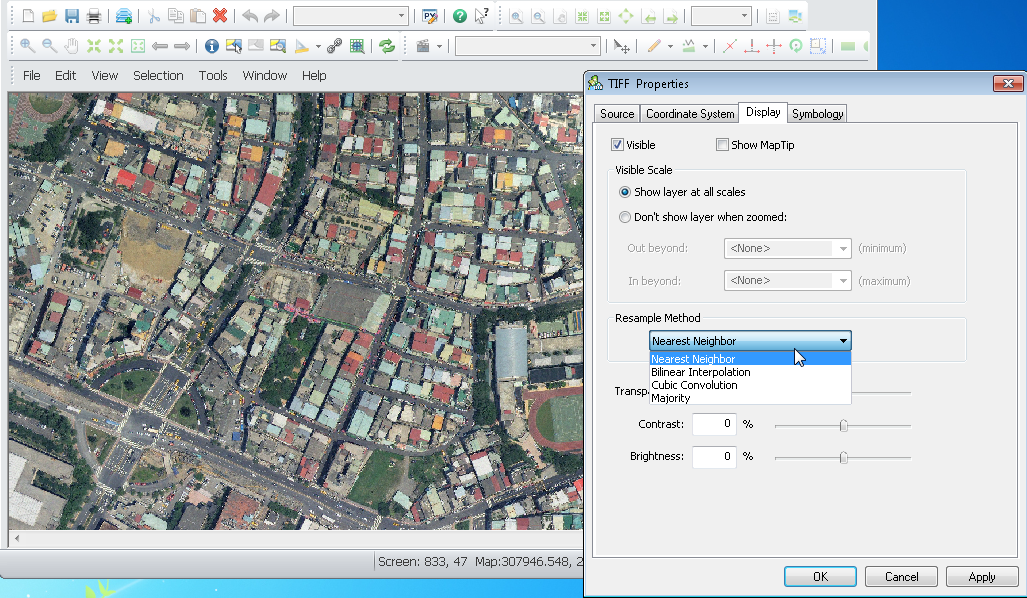
Firstly, if you want to set a raster layer, please right-click the raster layer in "Data Content" and choose "Properties." In Layer Properties window, choose "Display" tab in which you can decide whether to tick "Show Map Tip."
Meanwhile, users are allowed to set the visible scale of raster layer as well. Since a raster layer might be overlaid with other layers, you can choose to display the layer at all scales or only at a specific range of scales. As a result, it can avoid the raster layers from displaying fuzzily caused by the map scale.

©2015 Supergeo Technologies Inc. All rights reserved.