Brief
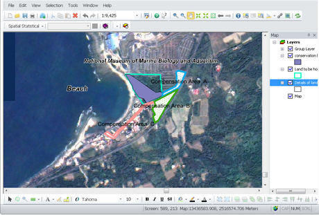
SuperGIS Desktop 10.1 is the desktop GIS (Geographic Information System) of SuperGIS series, providing the functions to edit, store, examine, integrate, process, analyze and display location-related information. Maps in different types and files in various formats can be processed with SuperGIS Desktop, including vector maps and raster images, etc. A map is composed of layers, and each layer can only contain one sort of feature data. Through the analysis and process of features' spatial relationship, the government agencies can refer the data in city planning, public facility management, management of environment and resource and engineering and so on.


©2015 Supergeo Technologies Inc. All rights reserved.