
Closest features
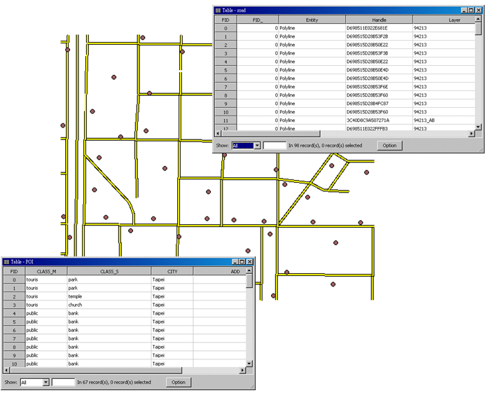
If you would like to know the distance between each restaurant and its nearest road, take the layers, ”POI” and “road” for instance. The features of POI are distributed near different roads. So, you can apply the spatial join operation to find out the distance between each point feature and its closest road and create a new layer whose attribute table contains attribute data and features corresponded to the source layer and the joined layer.
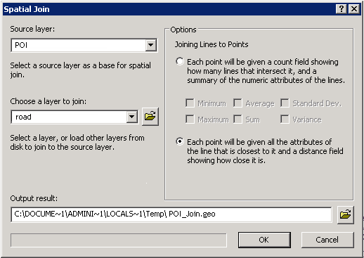
Firstly, open "Spatial Join" window, choose “POI” for "Source Layer", choose “road” for "Choose a Layer to Join", and choose “ Each line will be given all the attributes of the line that is part of.” As the path for saving the output result is confirmed, please click "OK."
NOTE: If the polyline intersects with a polygon, the distance will be seen as 0 as well.
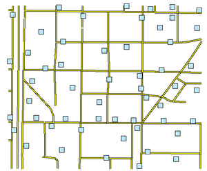
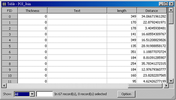
The joined point layer is added to the map, like the figure below. As the attribute table of the layer is open, you will find that the system automatically adds the nearest feature data to the table and also adds a "Distance" field for recording the distance between the point feature and its nearest line feature.
©2015 Supergeo Technologies Inc. All rights reserved.