
Union
"Union" operation is to combine two layers into a new layer, which is the union area of the two layers and contains the data from the two layers. "Union" can be only performed on polygon and polygon layers.
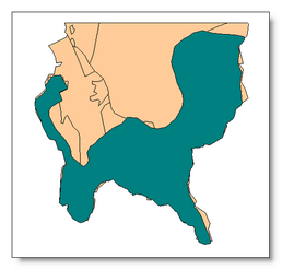
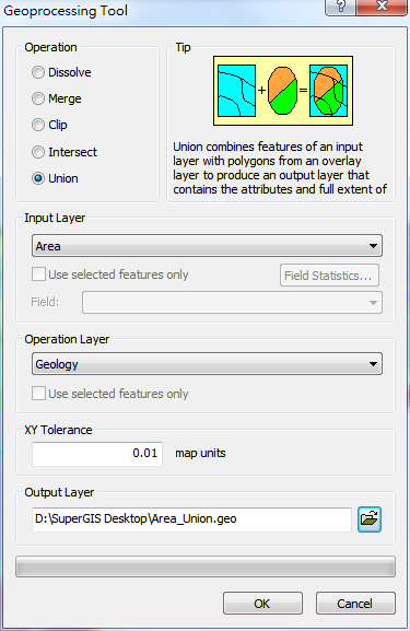
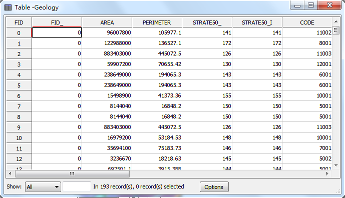
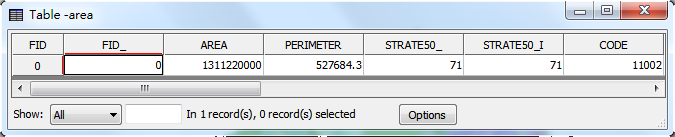
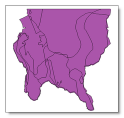
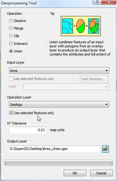
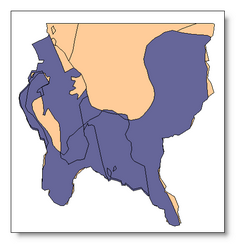
Take the layers “area” and “geology” for example. Open "Geoprocessing Tool" window, select “area” for "Input Layer", select “geology” for "Operation Layer." Then, as the path for saving Output layer is confirmed, please click "OK" to complete the union operation. The figures below are the map before union and the attribute tables of the two layers.
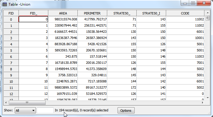
The new layer created by "Union" will be displayed as the top layer on the map. The attribute table is the union of the attributes of the two layers; the fields in the new attribute table include the fields from "Input Layer" and "Operation Layer." The attributes of the overlapped features consist of the data of the two layers; the attributes of the features which do not overlap with the operation layer will be blank in the fields of the operation layer.
Union with the selected features
Union can be performed with specified features. Take the layers “area” and “geology” for instance. Choose the needed features in “area” and “geology” layers, open "Geoprocessing Tool" window, and choose "Union." Then, choose “area” for "Input Layer", tick "Use Selected Features", choose “geology” for "Operation Layer", and tick "Used Selected Features." As the path for saving the output layer is confirmed, click "OK."
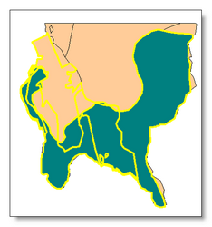
After Union is completed, the new created layer will be added to the map window, like the figure below.
©2015 Supergeo Technologies Inc. All rights reserved.