
Dissolve with field statistics
Besides dissolve operation, SuperGIS Desktop also provides field statistics function for statistics analysis and add the statistics results to the attribute table of the output layer.
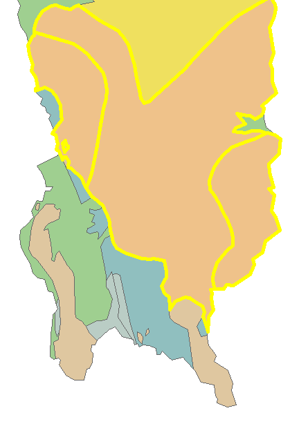
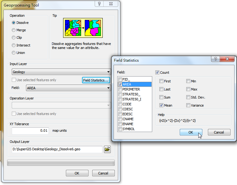
Here, take the layer “geology” for instance. Firstly, select the features on the map, open the "Geoprocessing Tool" window, choose "Dissolve", and choose “geology” for "Input Layer." Then, tick "Use Selected Features" and click "Field Statistics." In "Field Statistics" window, there are several functions available, and you can choose "Count" as well. You can choose the field for statistics and the function you need. If you need to show how many records are from the input layer, please tick "Count." As all of the settings are completed, click "OK." Then, back to "Geoprocessing Tool" window, choose the field for dissolve and confirm the path for saving the output layer. Click "OK" to dissolve the features.
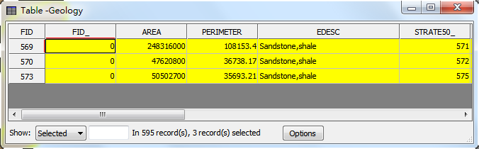
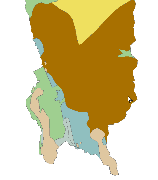
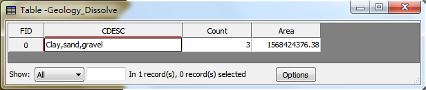
The dissolved layer is displayed in the map window; the attribute table of the new layer records the fields of statistics results. In this sample, we ticked "AREA" for "Average" and tick "Count." So, there are two fields, “A_AREA” and “Count” added. “A_AREA” represents the average area of the input features. “Count” refers to the number of the input features.
©2015 Supergeo Technologies Inc. All rights reserved.