
What is SuperGIS Globe?
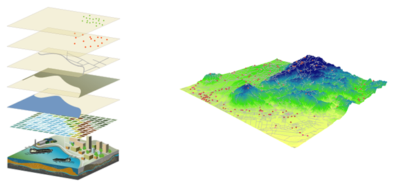
SuperGIS Globe is featured with dynamical earth model as the foundation, inputting DTM altitude for 3D windows environment simulation. Users can set altitude, direction, tilt angle of view points, and hillshade to present different display effects. Besides, SuperGIS Globe supports *.kml, *.kmz, and CityGML files, allowing you to import model from other software to SuperGIS Globe.
© 2016 Supergeo Technologies Inc. All Rights Reserved.