.jpg)
Tools for Viewing Layers
In addition to rectifying layers, SuperGIS DataRectifier also provides a number of tools for zooming in/out, fixed zooming in/out, panning, full extent, previous extent, next extent, etc. These tools can help you to view the layers conveniently while you are rectifying the layers.
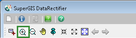
1. Click Zoom In tool on Control Toolbar, and the mouse cursor becomes a magnifier icon. You can drag a rectangle to magnify a certain area.
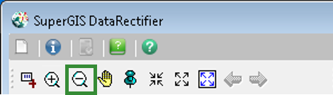
2. Click Zoom Out tool on Control Toolbar, and the mouse cursor becomes a magnifier icon. You can drag a rectangle to zoom out a certain area.
3. Click Fixed Zoom In tool on Control Toolbar, the layer will be zoomed in on the center of the layer.
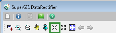
4. Click Fixed Zoom Out tool on Control Toolbar, the layer will be zoomed out on the center of the layer.
5. Click Pan tool on Control Toolbar, and the mouse cursor becomes a palm with which you can pan the layer by pressing the left key of the mouse.

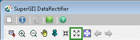
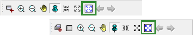
6. Click Full Extent on Control Toolbar, and you can zoom to the full extent of the map.
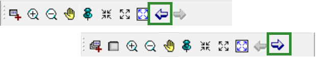
7. Click Previous Extent or Next Extent on Control Toolbar, and the map will be displayed as the previous extent or the next extent.
© 2016 SuperGeo Technologies Inc. All Rights Reserved.