.jpg)
Adding Reference Layer
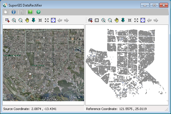
As you have added the source layer, you need to add the reference layer you want to rectify in the right part of the window. The supported reference layer formats are 7 raster layer formats, *.SGR, *.SID, *.ECW, *.LAN, *.JPG, *.BMP, and *.GeoTiff and 2 vector layer formats, *.GEO and *.SHP. With SuperGIS DataRectifier, you can rectify multiple layer formats and add the coordinate system to overlay and analyze the layers.
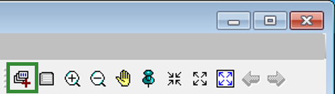
1. Click Add Reference Layer in the right part (Reference layer) of SuperGIS DataRectifier to start Open window.
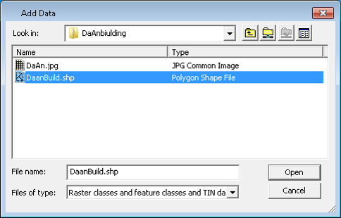
2. In Open window, browse and select the layer(s) you want to add as the reference layer(s). Then, click the bottom right Open button to add the reference layer (To select multiple layers, you can press Ctrl key and use mouse to do multi-select or press Shift key and use mouse to do range-select).
3.The selected layer is added and displayed in the right part (reference layer) of the window.
© 2016 SuperGeo Technologies Inc. All Rights Reserved.