.jpg)
Adding Source Layer
Before rectifying the data, you need to add a source layer you would like to rectify and add more than one reference layer. The supported file formats for source layers include 7 raster layer formats, *.SGR, *.SID, *.ECW, *.LAN, *.JPG, *.BMP, and *.GeoTiff and 2 vector layer formats, *.GEO and *.SHP. With SuperGIS DataRectifier, you can rectify multiple layer formats and add the coordinate system to overlay and analyze the layers.
1. Click Add Source Layer button in the left part (Source Layer) of SuperGIS DataRectifier window to start the Open window.
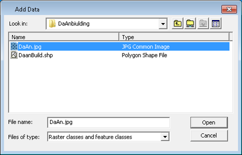
2. In Open window, browse the layer you want to add as the source layer. Select the layer you need, and click Open at the bottom right corner to add the source layer.
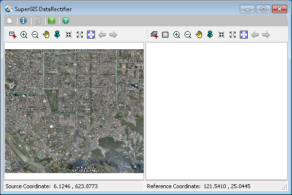
3. The selected layer is added and displayed in the left part—source layer of the window.
© 2016 SuperGeo Technologies Inc. All Rights Reserved.