CAD Settings
SuperGIS DataConvertor enables you to convert SuperGeo’s GEO format files to the common vector formats. However, some specific vector formats, like CAD file, can contain the features of different geometry types in a single file, which is different from GEO format that can only contain the features of one geometry type. Therefore, to convert GEO format to CAD format, you need to set the advanced CAD settings in SuperGIS DataConvertor.
Converting GEO to DXF, DWG, and DGN
When you want to convert SuperGeo Format (*.geo) to Autodesk AutoCAD (*.dxf), Autodesk AutoCAD (*.dwg), or Bentley MicroStation Design (*.dgn), the advanced settings in SuperGIS DataConvertor allows you to set CAD settings.
1. Select Vector Data for Conversion Mode in SuperGIS DataConvertor.
2. As you select SuperGeo Format(*.geo) in Source, you can select Autodesk AutoCAD (*.dxf). Autodesk AutoCAD (*.dwg), or Bentley MicroStation Design(*.dgn) in Target.
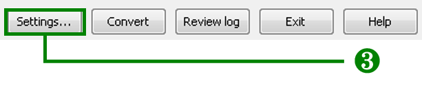
3. Click Settings button on the lower-right corner of SuperGIS DataConvertor window to open Settings window.
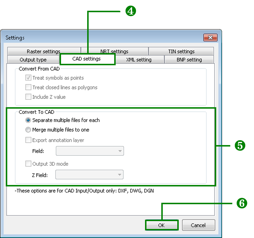
4. Select CAD settings tab.
5. In CAD settings tab, you can only choose either of the options for Output at a time. If you choose Separate multiple files for each, it means the GEO files will be converted as several CAD format files. If you choose Merge multiple files to one, it means the GEO files will be converted as a single CAD format file.
6. Click OK button to complete the settings and go back to SuperGIS DataConvertor window.
© 2017 SuperGeo Technologies Inc. All Rights Reserved. |