Curvature
Curvature presents the complex undulation of the surface. Curvature quantifies the curvedness and change level. The straight line is not curve, so each point on it has the curvature as 0. Compare the large circle with the small one, the level of curvedness of the former is smaller than the later, so the curvature of large circles is smaller than small ones.
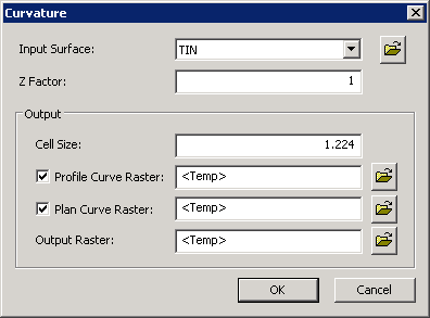
Curvature can be output in two types, perpendicular and horizontal, which is respectively called plan curvature and profile curvature. The plan curvature indicates the curvedness and change level of the surface in the horizontal direction; that is, the curvedness of the contour on the surface of the point. It mainly influences the convergence and divergence of river. The profile curvature indicates the change level of elevation of the maximum slope; that is the steepness or the flatness of the slope. It mainly influences the speed of the river flow, by which the ratio of erosion and deposition differs.
To the output values, a positive value represents the convex slope (like ridge), which indicates that the water flows forwards to other areas; a negative value represents concave slope (like river way), which indicates that waters from other regions will flow towards this region. The flat terrain has the value around -0.5~0.5; the steeper terrain has the value around -4~4.
Description of Parameters
©2016 Supergeo Technologies Inc. All rights reserved. |