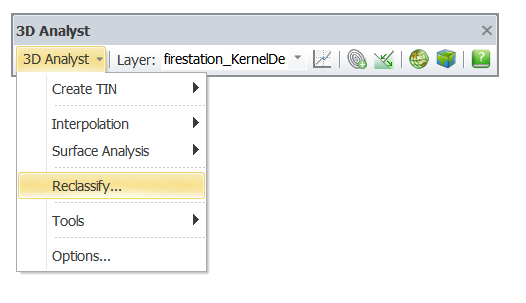
SuperGIS 3D Analyst Menu
SuperGIS 3D Analyst provides not only 3D analysis functions such as Create TIN, Interpolation, Surface Analysis and Reclassify, but also tools for raster data conversion and options for output settings.
•Create TIN: Users can convert vector or raster data into TIN with ease by “Create TIN” function. Vector data can be converted via the “from Features” function of “Create TIN.” And raster data can be converted by using “from Raster” function of “Create TIN.”
NOTE:Triangulated Irregular Network (TIN) is a triangle-based Tesseral made up of irregularly distributed nodes and contiguous triangles. The vertices of each triangle are sample data points with three-dimensional coordinates values (x, y and z values).
•Interpolation: If you want to convert a few of known point data into raster data, you can use random spatial point data to estimate other unknown values with Interpolation. Two analysis methods, “Inverse Distance Weighted (IDW)” and “Trend”, are provided by Interpolation.
•Surface:The additional data are generated by analyzing existing raster layers without affecting the source data. The methods includes: Aspect, Slope, Hillshade, Curvature, Cut/Fill, Viewshed, Contour and Extract Surface Values.
•Reclassify: Using several given methods to reclassify the cell values of an original layer and obtain new values for replacement.
•Utility:Provides data conversion between Raster and Vector layers, and creation of Thiessen's Polygon and SGR raster data.
•Option:Enables users to set output methods to obtain the desired output layer such as cell size, output extent, and the storage of output files.
©2016 Supergeo Technologies Inc. All rights reserved. |